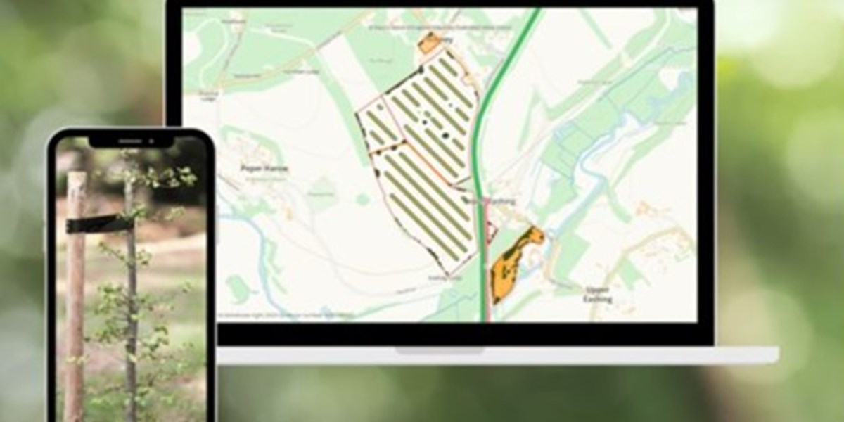
Shropshire Council has taken part in the development of a digital agroforestry designer toolkit.
It has worked on the project with mapping software company Land App and partners the Department of Environment, Food and Rural Affairs, the Tree Council and Natural England.
The toolkit has been designed for farmers, estate managers and land agents as a platform for agroforestry – the intentional integration of trees into farms.
Shropshire Council said it hopes the toolkit will transform how agroforestry is planned and implemented across the UK, enabling it to become an integral part of wider landscape management which will help combat climate change.
The toolkit is included in the free tier of Land App’s software.
Visualisations
Users answer a short series of questions to generate bespoke initial agroforestry designs tailored to a farm in 30 seconds, making it possible to visualise what could be done on a parcel of land.
The council said the designs are flexible and can be customised to meeting specific requirements, such as editing stem planting density or sharing ideas with an advisor.
It can also ensure designs are compatible with government incentives and payment schemes.
Three design types are available: linear agroforestry, in-field grid/dispersed and traditional orchards.
Significant step
Cllr Ian Nellins, deputy leader of Shropshire Council and cabinet member for climate change, environment and transport, said: “The launch of this toolkit is a significant step forward in our efforts to combat climate change.
“Agroforestry not only supports sustainable farming practices but also enhances biodiversity and boosts our resilience against extreme weather events. It’s a practical and innovative solution that aligns with our commitment to environmental stewardship.”


