Ordnance Survey (OS) has released new location data products for emergency services and transport routing, to be free to member organisations of the Public Sector Geospatial Agreement (GSPA).
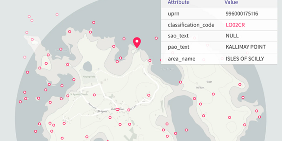
The national mapping agency said the Emergency Services Gazetteer (ESG) is aimed at helping the services’ control rooms and frontline staff respond to and manage incidents by identifying precise locations, including those with no addresses, such as named cliffs and waterfalls.
It contains a comprehensive and maintained database of locations with 1.3 million features such as motorway, road junctions and roundabouts.
The product has been developed in collaboration with emergency services is expected to grow as new features are added.
The other new product is the OS Multi-modal Routing Network, which brings all OS transport information together in one place to support routing applications.
The agency said that local authorities will be able to use it to plan safe routes to schools and colleges, and emergency services to improve their planning for incidents at specific locations.
Map of the nation
Its managing director of national mapping services, John Kimmace, said: “This latest release demonstrates the breadth and layers of information behind the map of the nation.
“Accurate and trusted location data has become a vital national asset in supporting many of the services which we rely on, from underpinning public services to enabling quicker emergency service response times, as well as helping to implement land and sustainability measures or managing our built environment.
“These new datasets provide even richer information to support customers with their existing and future operations.”
Director at Geospatial Commission Sarah Hodgetts commented: "These new datasets will quicken emergency response times and help local authorities deliver better public transport. The Geospatial Commission will continue to work on behalf of government with Ordnance Survey to improve the impact and value of location data in delivering public services.”
Both products will be available through the OS Data Hub.
New NGD features
OS added that it has provided extra features to its National Geographic Database, including buildings data, information on field boundaries and land cover (to support environmental sector users), and enhancements including tram track attribution. The provides details of where trams are present on the road network.
The PSGA is a 10-year contract between the government and Ordnance Survey, managed by the Geospatial Commission, for the provision of geospatial data across multiple themes, including buildings, transport, structures, addressing and land.
It delivers key data to public sector members for use in everyday settings to support provision of critical services to the public.


