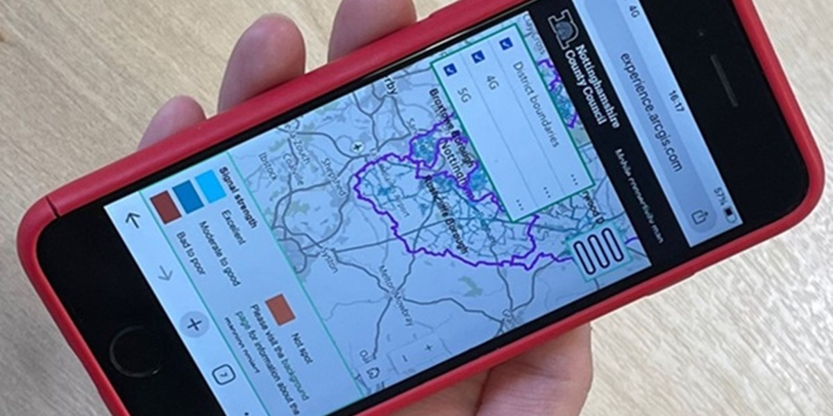
A group of local authorities in Nottinghamshire have provided data for an interactive map to help residents and businesses find which providers offer high speed mobile signals in their neighbourhoods.
Nottinghamshire County Council has worked with the county’s seven district and borough councils and Birmingham City University in delivering the project, which has been funded by the Local Government Association under its Digital Pathfinders programme.
Data for the mobile connectivity map was collected over 2022-24 by the councils’ bin collection lorries being fitted with monitoring devices to detect and measure the strength of 4G and 5G signals. This provided more seven million readings of signals.
No personal data was collected.
A team from Birmingham City University designed the device and software used to track mobile phone signals.
The exercise has made four county maps for each of the main operators - EE, Vodafone, O2 and Three - available to search by street level.
Street level accuracy
The county council said the effort derived from the fact that current information on mobile phone coverage has not always accurately reflected the reality at street level, and there has been evidence it can vary within a village or neighbourhood.
Its cabinet member for economic development and asset management, Cllr Keith Girling, said: “As a county council we have a duty to ensure that Nottinghamshire is as well connected as possible. After all, most of us have a mobile phone and rely on having good signals.
“Many residents need a strong mobile signal for things like accessing healthcare services, operating smart meters, electric vehicle charging and even online shopping, especially for those who may not be able to get out and about.
“This project will help us to identify where improvements and action are needed, especially in rural areas where there may be potential gaps in coverage.”
Automation and collaboration
The university's senior lecturer in network and cyber security, Raouf Abozariba, said: "Through using advanced automation techniques, computer engineering, and effective collaboration with Nottinghamshire County Council and the local councils which oversee refuse collection, the project has shown that such digital mega-studies are financially, technically, and operationally feasible.
"Our monitoring devices, which were built from the ground up at the university’s 5G lab, were designed to perform accurate 4G and 5G coverage testing with no additional carbon emissions, helping to build state-of-the-art radio environment maps."


