

Natural England has published a map of the country’s peatlands using AI, satellite data from the European Space Agency and datasets from field surveys.
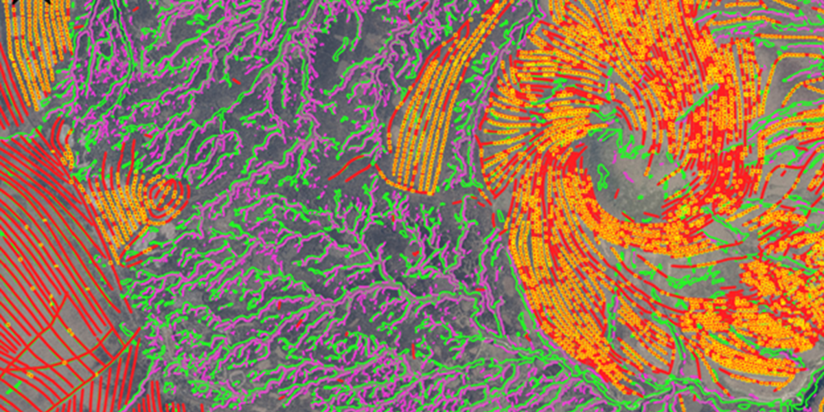
It said the England Peat Map, which is available as open source on GOV.UK, is the most complete on England’s peatlands to data and one of the world’s most comprehensive. Its outputs include maps on the extent and depth of peaty soil, vegetation, surface features such as grips, gullies and haggs, and bare peaty soil in uplands.
It has been developed to help land managers and decision makers to better understand the country’s peatland for purposes such as blocking drainage channels to re-wet land, and to balance biodiversity and carbon storage with food security.
Natural England’s chief scientist Dr Sallie Bailey said: “Mapping peat to this level of detail will help us maximise the benefits of peat and massively advances our understanding the role our peatlands are playing in a changing climate.”
The map was created using an AI model under the AI4Peat project, involving partners such as the National Trust, Moors for the Future and the Yorkshire Peat Partnership.
Algorithm training
A Natural England blogpost said the AI algorithms have made it possible to predict where peat will be found and identify drainage channels without visiting the sites in person. The models were trained on over 300,000 data points from field surveys and provided accuracy measures of over 95% for the extent of peaty soils and 94% for vegetation and land cover.
The agency has published a report on the development of the map.
Caroline Thorogood, the National Trust’s national lead for peatland, said: “The data in the map will help us take a significant step forward to more accurately map peatlands that we own and care for in England and understand their condition.
“This will allow us to better identify priorities and action future work to recover our precious peatlands, helping nature thrive and providing benefits such as carbon storage and water regulation."


